Faine Greenwood
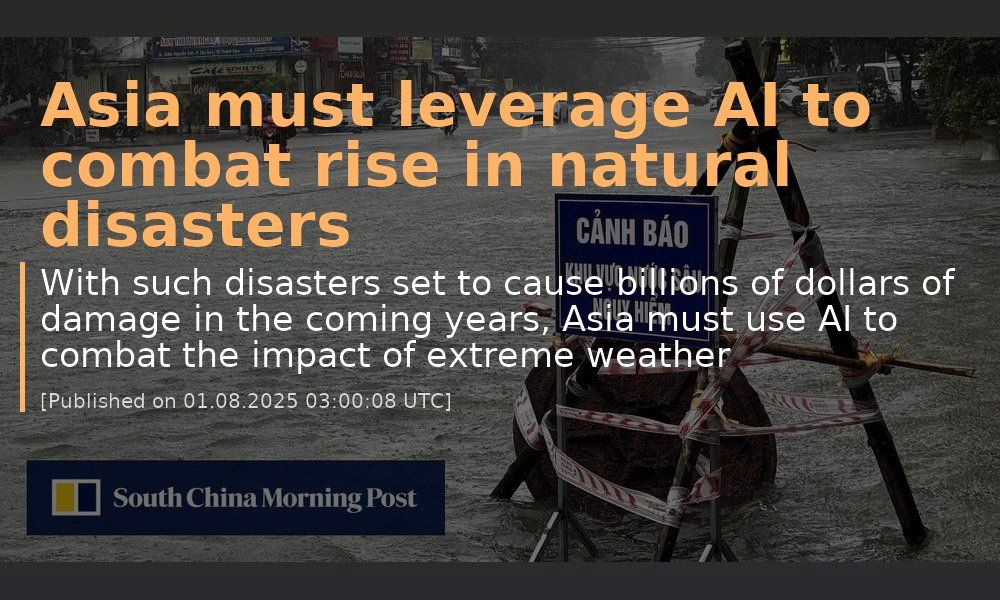
www.scmp.com
→ Go to article
Feed for terms related to natural disasters.
Feed on Bluesky


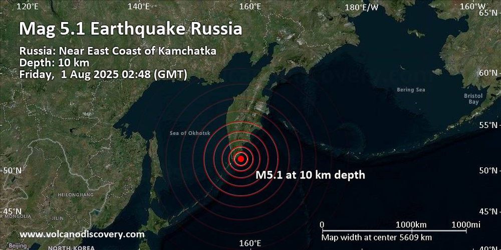
www.volcanodiscovery.com
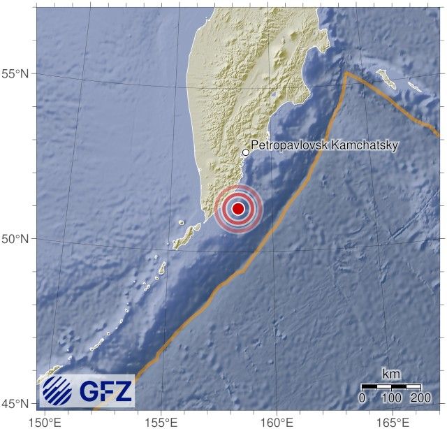
Strong magnitude 5.1 earthquake at unknown depth
See detailed quake info, read user reports, submit your own if you felt it!


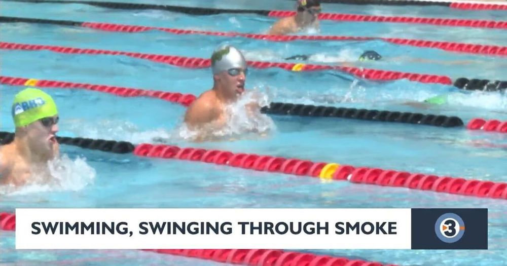
www.channel3000.com
Swimming, golfing through unhealthy smoky air in Madison
MADISON, Wis. -- The thick haze from Canadian wildfire smoke gripped the Madison area again Thursday, posing a challenge to those working on their strokes at the All City Swim


www.newsbeep.com
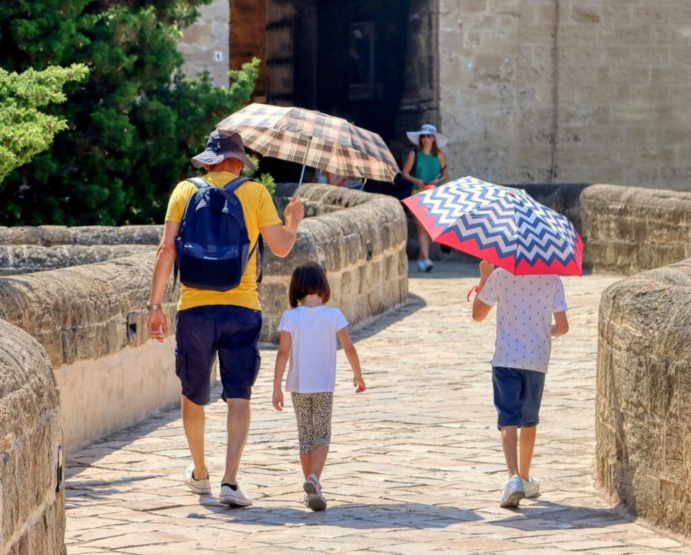
Living in extreme heat can age your body just like smoking does - United Kingdom News Beep
Phoenix summers no longer just feel unbearable. They may age your body faster too. In 2023 alone, the city recorded over 140 days with temperatures surpassing


seismos.app
Seismos App
See further details on this earthquake alert. 4.60 magnitude | Severo-kuril’sk, Russia


Joseph Fink@planetoffinks.bsky.social
There's a common meme format I see going around like "you wake up and it's 1995, before cell phones and the Internet" and it's like, I have bad news about things that very much existed in 1995